Published by Treadline
GPX walking routes on iPhone: what to check before you start
A GPX file contains geographic data that a compatible app can read. Download the file, locate it in Files and use an app that explicitly supports importing that type of route or track. A GPX download alone does not provide navigation or record a completed walk.
This guide is published by Treadline, one of the apps discussed. No app paid for placement. Sources and copy reviewed ; features, access and purchase options can change.
How to choose
This guide separates a planned path, a downloaded file and a recorded activity. They can look similar on a map but serve different purposes.
What the file actually contains
GPX is an XML format with structures for waypoints, routes and tracks. A track can describe an ordered sequence of coordinates without promising turn instructions, current access or a particular app’s import support.
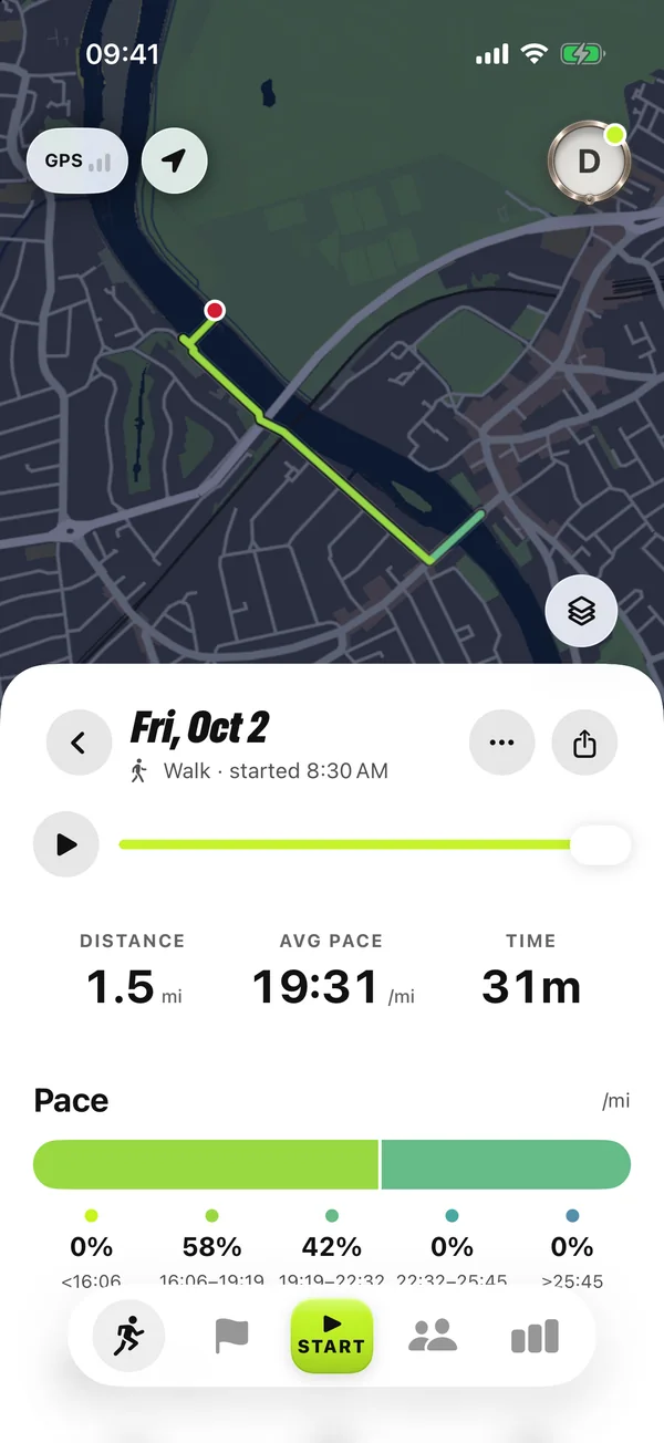
Treadline’s published loop downloads describe suggested paths. They are not recordings of your outing and do not prove that you have completed the route. Treat a file’s source and purpose as part of choosing it.
Download it and find it on iPhone
Open a landmark page or the free loop finder and choose its GPX download link. If Safari offers a download prompt, finish the download before trying to open it. Apple’s Files app and Safari’s download controls help you find saved files; the location can depend on your download settings.
Keep the .gpx extension. If the file will not open from Files, consult the route app’s own import instructions and choose the file from inside that app if supported. Do not assume every app accepting GPX supports every GPX structure.
Check the path before relying on it
Inspect the whole loop at a readable zoom. Check the start, the return, crossings and the current access information for the area. A line on a map does not establish that a gate is open or that a route is suitable for your needs.
If you expect to use it without a connection, check the chosen app’s own offline map and file availability before leaving. A saved GPX and downloaded map coverage are separate things; this guide does not promise offline navigation in Treadline.
Keep route planning separate from activity imports
Treadline’s released import workflow accepts exported Strava or Garmin activity ZIPs through Files and scans Apple Health for existing runs and walks. That is a different task from opening a suggested walking GPX in a route app.
To earn a Treadline landmark badge, record a qualifying run or walk that captures territory around the marked point. Downloading a route or passing the landmark is not the qualifying action. Check the result in the app after the activity.
Try a landmark loop
Sources and further reading
- GPX 1.1 schema: waypoints, routes and tracks (reviewed 2026-10-21)
- Apple: find downloaded files on iPhone (reviewed 2026-10-21)
- Treadline FAQ: released features and import support (reviewed 2026-10-21)
- Treadline FAQ — released product facts